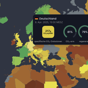
Proseminar: Geoinformationssysteme im Kontext des Klimawandels


| Component | Time | Location | Beinn |
|---|---|---|---|
| Seminar | Do, 16:00 - 18:00 Uhr | Oettingenstr. 67 - U127 | 16.10.2025 |
Geoinformation systems comprise systems for storing, displaying and analysing spatial
information such as satellite images, map data or environmental measurements.
Typical application areas include mobility planning, analysing environmental impacts,
infrastructure planning, spatial simulations of climate change and remote detection of location changes.
A focus is placed on the analysis of causes and consequences of climate change
and methods to support sustainable solutions, such as the detection of
bushfires, the remote detection of extreme methane emissions or traffic optimisation using
artificial intelligence.
The prerequisite for passing the seminar is regular, active participation in the lecture dates,
the presentation of a prepared topic and the submission of a seminar paper, which presents the topic again in written form.